
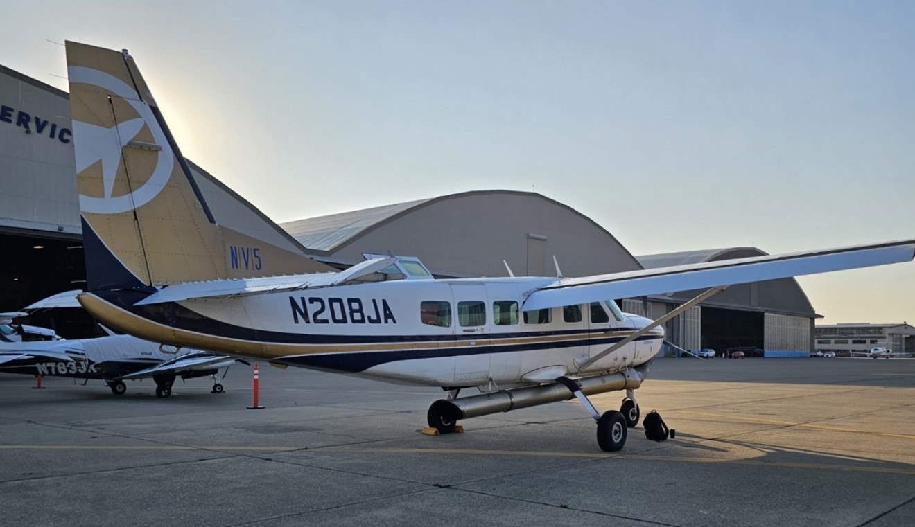
Today, Omaha Public Power District will be conducting a light detection and ranging (LiDAR) survey of transmission equipment. During this work, the public may see a small plane flying near power lines in the Omaha metropolitan area and northward toward a transmission line interconnection in Woodbury County, Iowa. The photo above, courtesy of NV5 Geospatial, shows the plane that will be conducting today’s survey.
Aerial surveys are a regular part of OPPD's maintenance to ensure reliable power for customers. They have previously been conducted by helicopter and drone. This is the first time a fixed-wing aircraft is being used for the effort.
We expect that this survey will just take one day; however, flight paths are dynamic as weather conditions change. Our contractor, NV5 Geospatial, will notify local airfields and area aviation agencies of route specifics and timelines. If our transmission engineering and contractor team does not capture sufficient data, an additional flight will be scheduled.